SPRAICO.AI Project Processes provide developer-side information control, reporting, and decision support across ten interdependent layers. Using pull planning, they work backward from the intended asset outcome to its digital foundation. We apply openBIM, AECO/FM, Reality Capture, software engineering, and human-controlled AI to structure project information, preserve lifecycle continuity, and support project delivery—without replacing contractual records or professional responsibilities.
Process layers 9-0
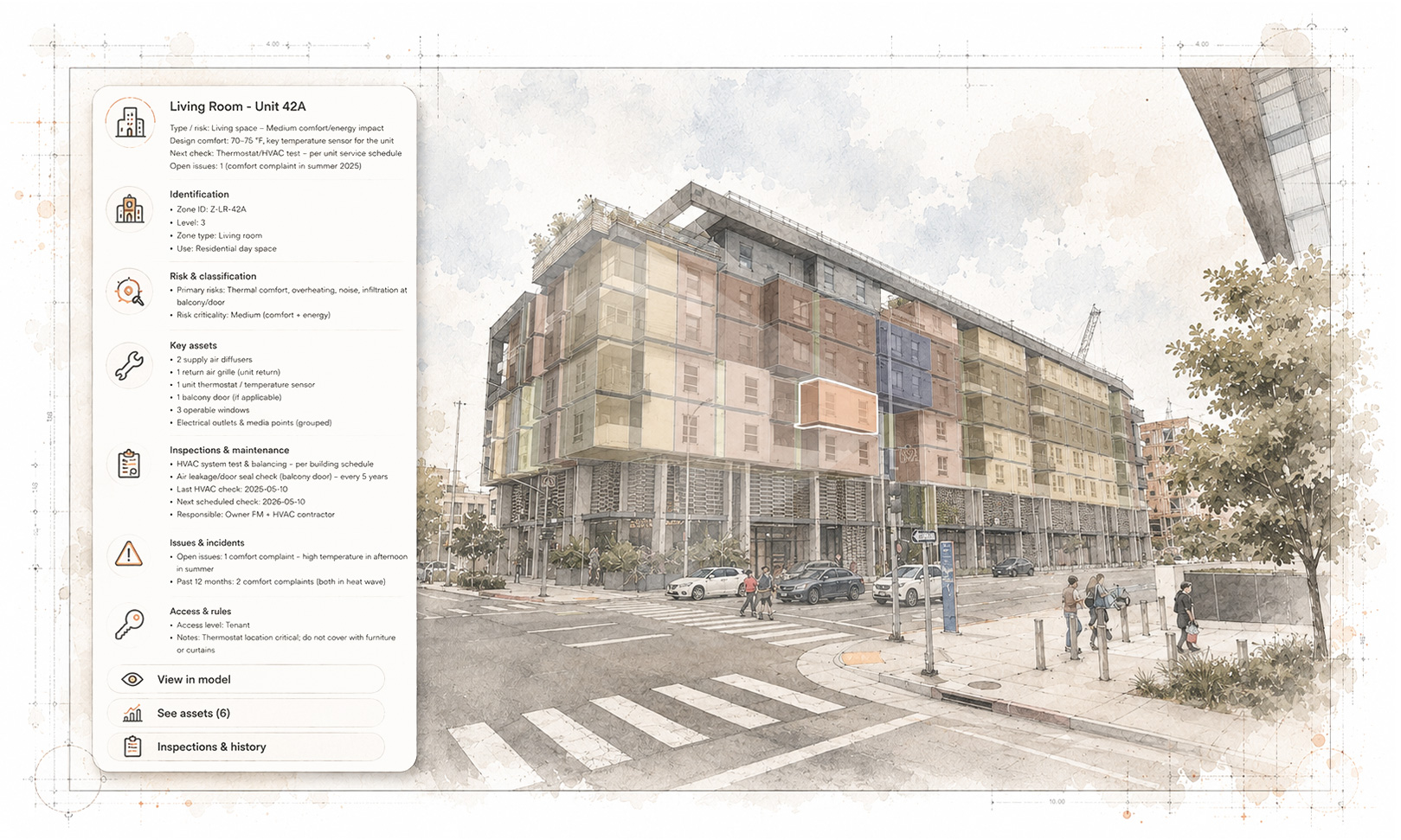
Layer 9: Facility Management / FM Reference Dataset
Layer 9 begins with the intended future state of the asset: completed, handed over, operated, maintained, refinanced, transferred, or prepared for exit. Relevant project outputs are consolidated into an FM Reference Information Dataset structured at the space and object level. It can connect spatial information with building elements, systems, equipment, installed products, warranties, maintenance requirements, and supporting records, enabling informed lifecycle management and preventive object-level maintenance. The dataset can be derived from, or maintained in compatibility with, the Layer 8 IFC reference model.
Process layers 9-0
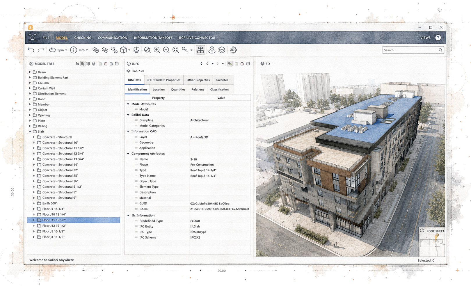
Layer 8: IFC Reference Model
Layer 8 creates or improves an IFC reference model that can provide the open-model foundation for a digital-twin environment. Industry Foundation Classes provides an internationally supported, software-independent format for exchanging structured AECO/FM information across design, construction, and operations. The model reduces dependence on any single authoring platform, consultant, or project agent while supporting controlled exchange, authorized access, and long-term information reuse. It can also provide the structure for the Layer 9 FM dataset and, where required, interactive 3D representation within FM or project-specific web applications.
Process layers 9-0
Layer 7: As-Built AECO / FM BIM Reference Model
Layer 7 records the building as it was delivered rather than simply preserving the original design intent. Changes, installed products, manufacturers, suppliers, construction sequences, site conditions, and supporting evidence are organized within an As-Built AECO/FM BIM Reference Information Dataset. This allows differences between specified, instructed, evidenced, and installed conditions—such as a change of product or manufacturer—to be documented and carried forward into the Layer 8 IFC model and Layer 9 FM dataset.
Process layers 9-0
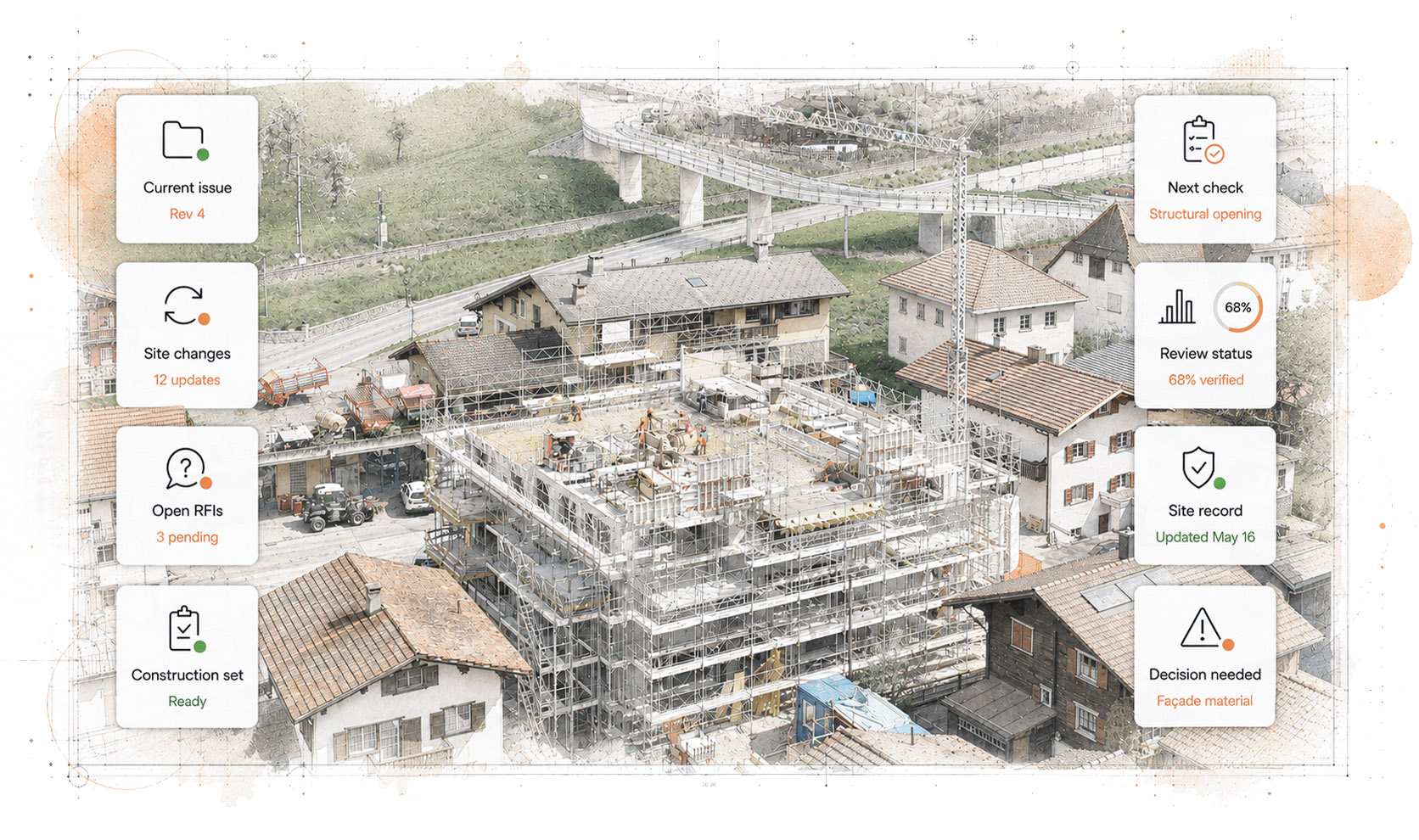
Layer 5: Construction Site Digitalization
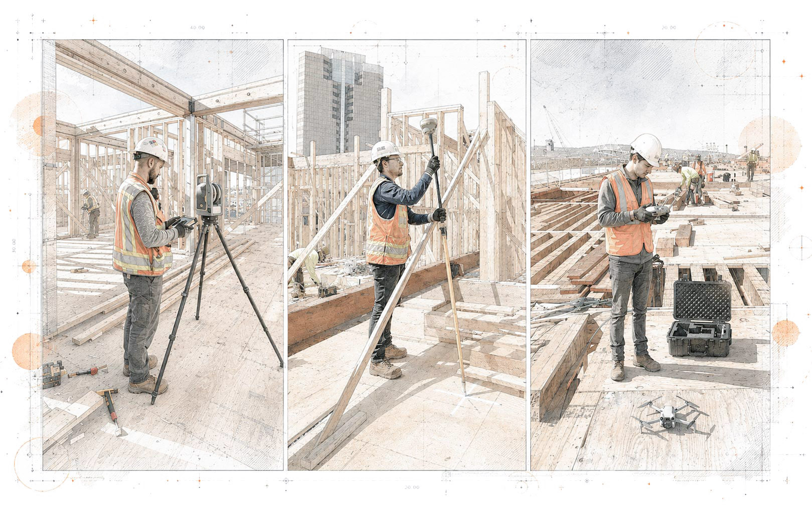
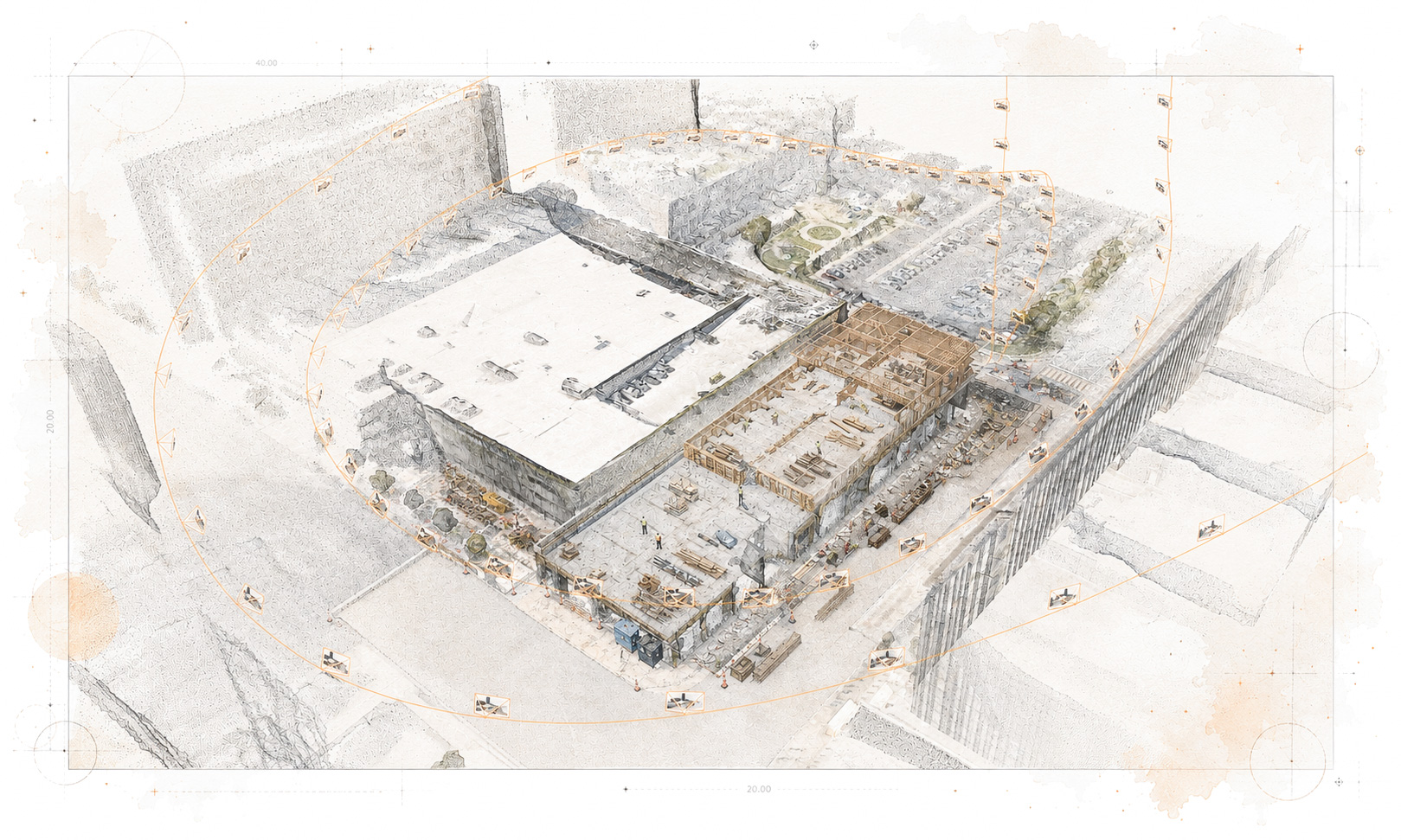
Layer 5 creates Reality References by connecting project information with physical conditions captured during construction. Terrestrial LiDAR scanning captures dense three-dimensional point data, GNSS positioning aligns it with geographic and project coordinates, and drone-based visual capture documents areas beyond terrestrial coverage. Photography, video, photogrammetry, and other appropriate methods may also contribute. The resulting datasets support progress review, model-to-site comparison, construction decisions, site information, and the eventual as-built record. They provide project evidence but do not certify construction quality or replace inspection, supervision, certification, or professional sign-off.
Process layers 9-0
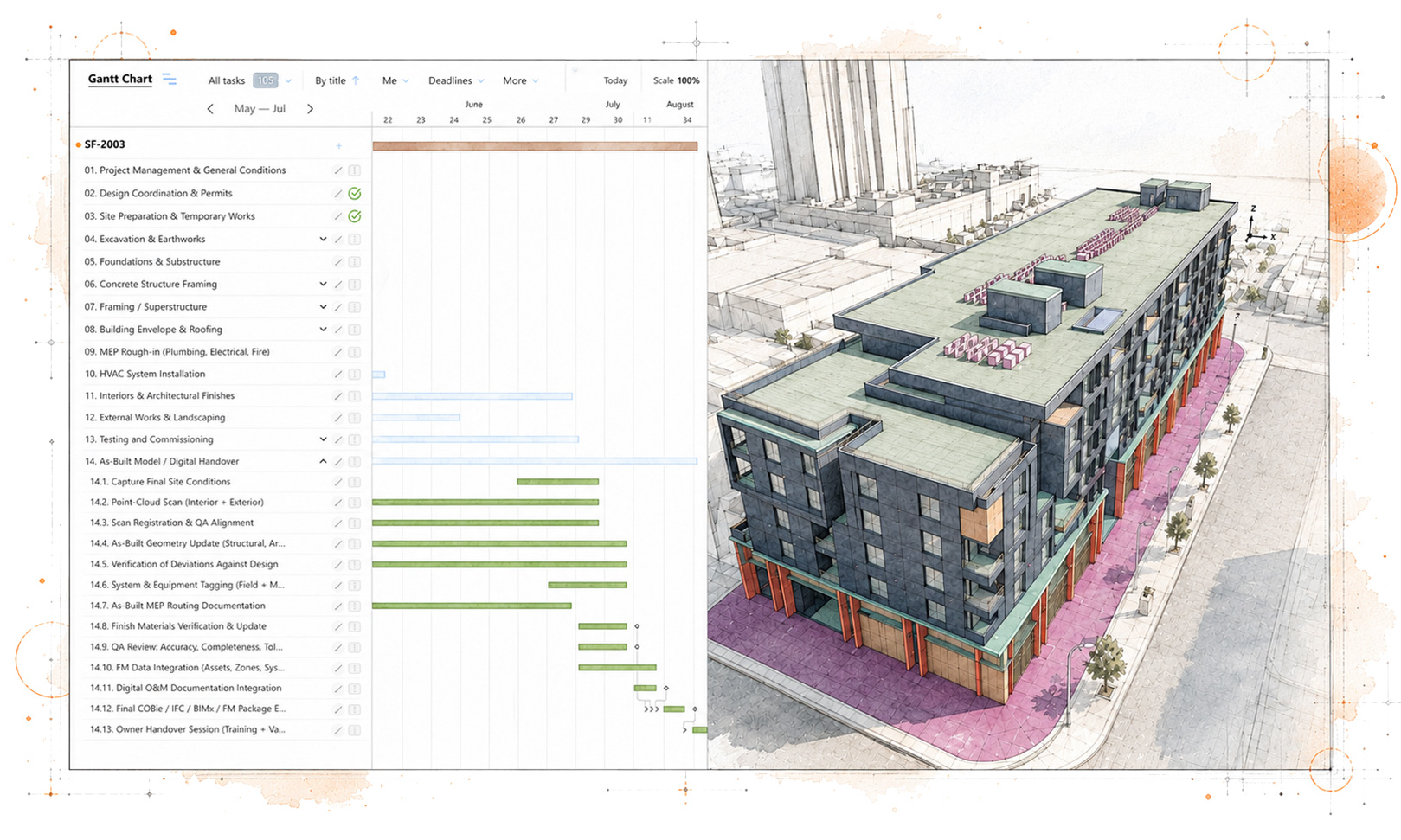
Layer 4: Construction Schedule Reference
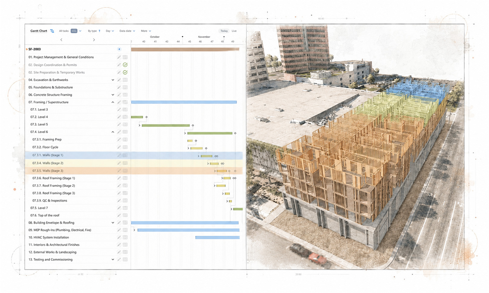
Layer 4 structures schedule-related information into a clear reference for project timing, sequence, responsibilities, and delivery risk. Developed iteratively from contractor input, stated constraints, dependencies, concerns, progress evidence, and project-agent information, it can preserve the outcome of extended coordination and information exchange. Connecting this material with contractor-specific references and site evidence makes sequencing assumptions, unresolved dependencies, and potential causes of delay easier to identify. The resulting dataset supports informed oversight but does not replace the contractual or official schedule.
Process layers 9-0
Layer 3: Contractor-Specific Reference Sets
Layer 3 addresses a common information problem: a general issued-for-construction set may leave each contractor to extract and interpret the material relevant to its work. Contractor-specific reference sets bring together scope, interfaces, exclusions, drawings, model views, dependencies, information gaps, bid assumptions, and matters requiring professional verification. Potentially extending across many trades and appointments, they give the developer a clearer view of what was issued, questioned, or assumed while supporting coordination and schedule development.
Process layers 9-0
Layer 2: AECO / FM BIM Reference Model
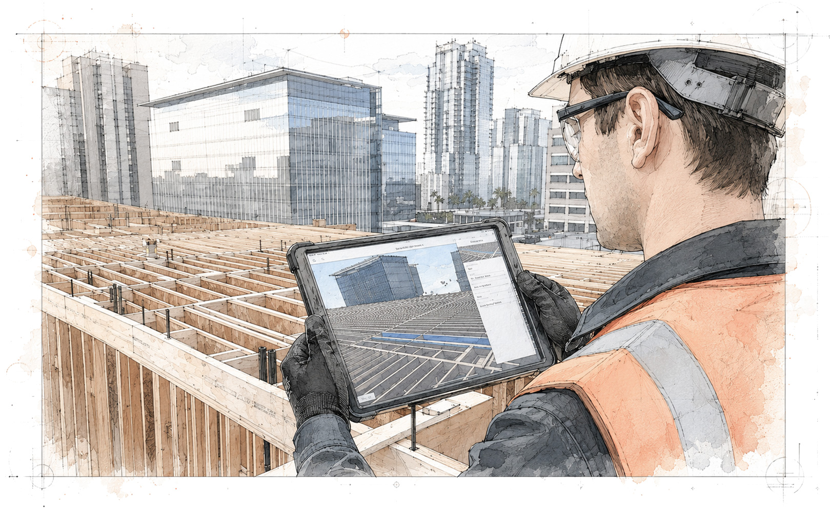
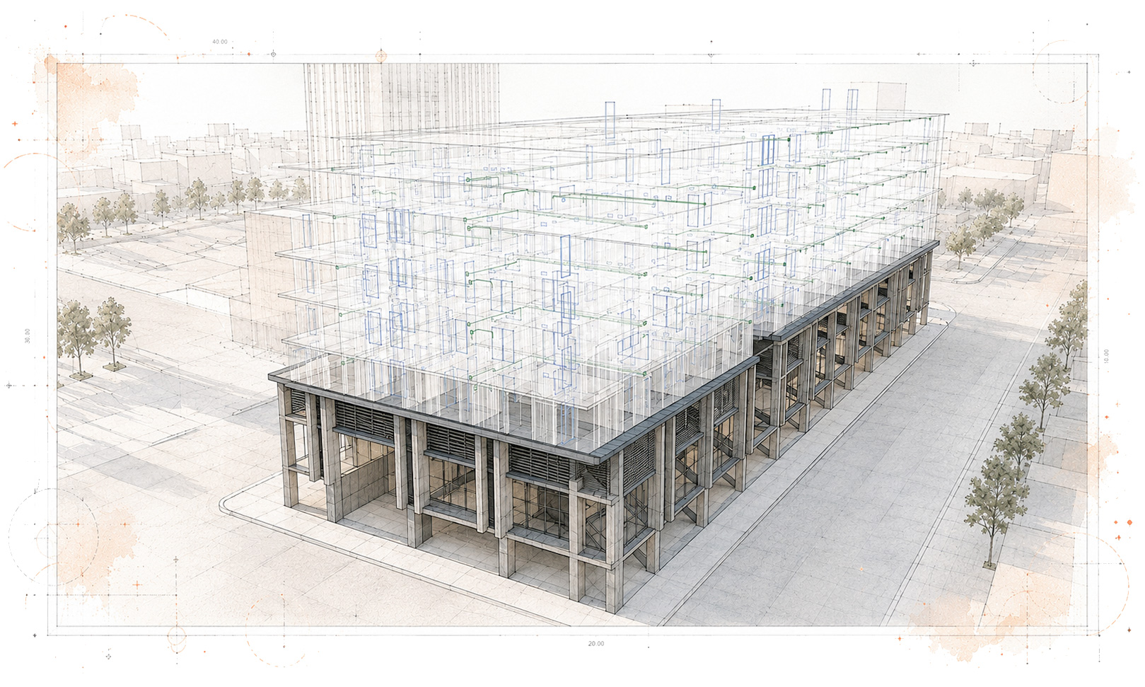
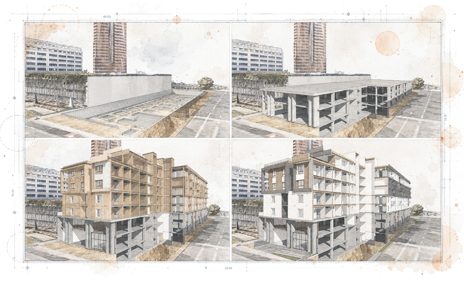
Layer 2 is the central model-based information resource supporting the layers above. The AECO/FM BIM reference model connects design models, documents, quantities, decisions, dependencies, and relevant project-agent information. It supports digital coordination, contractor-specific information extraction, and virtual construction sequencing, helping identify spatial conflicts, coordination issues, and unresolved risks before they reach the construction site. It also provides the information basis for later as-built, IFC, and FM references.
Process layers 9-0
Layer 1: Geo-referencing
Layer 1 establishes the spatial relationship between the physical site and the project’s digital information. Drawings, BIM models, LiDAR scans, point clouds, drone data, GNSS references, survey logic, and other spatial records are aligned within a consistent geographic and project-coordinate context. This supports land and site analysis, reliable model-to-site comparison, construction evidence, progress review, and accurate as-built references. The resulting spatial framework improves the usefulness of georeferenced information but does not replace formal surveying, certified control points, or professional survey certification.
Process layers 9-0
Layer 0: Software Engineering and Artificial Intelligence
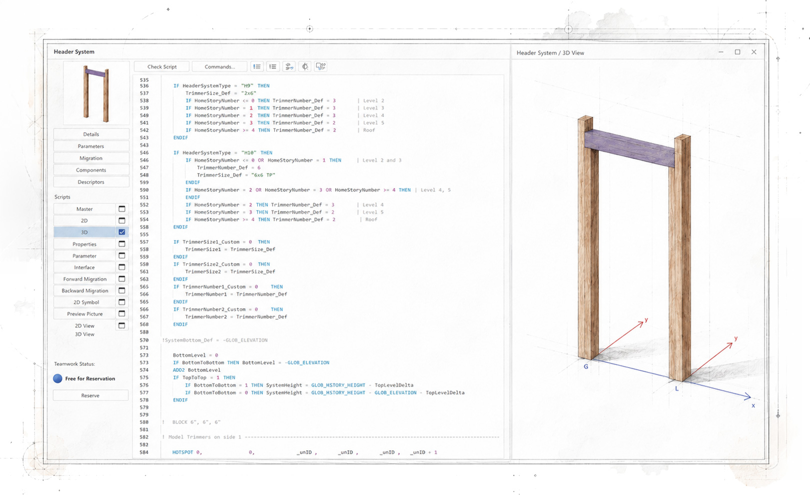
Layer 0 provides the project-specific digital foundation required by every other Process Layer. Its capabilities include programming, data structuring, technical registers, automated workflows, front-end and back-end web systems, information integration, and custom BIM elements or digital objects when suitable components are unavailable in standard libraries. Software engineering and human-controlled AI can also support information extraction, comparison, classification, transformation, and production. AI outputs remain probabilistic, so consequential results require human interpretation and verification.